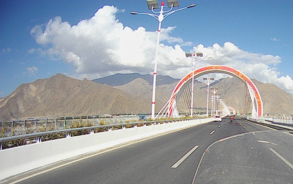
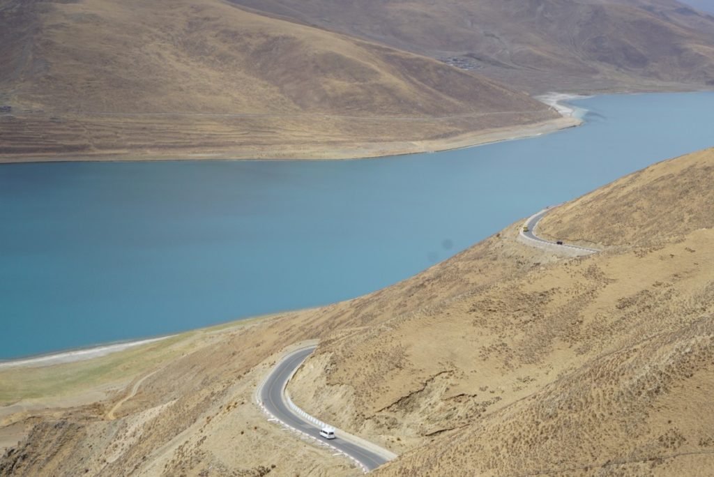
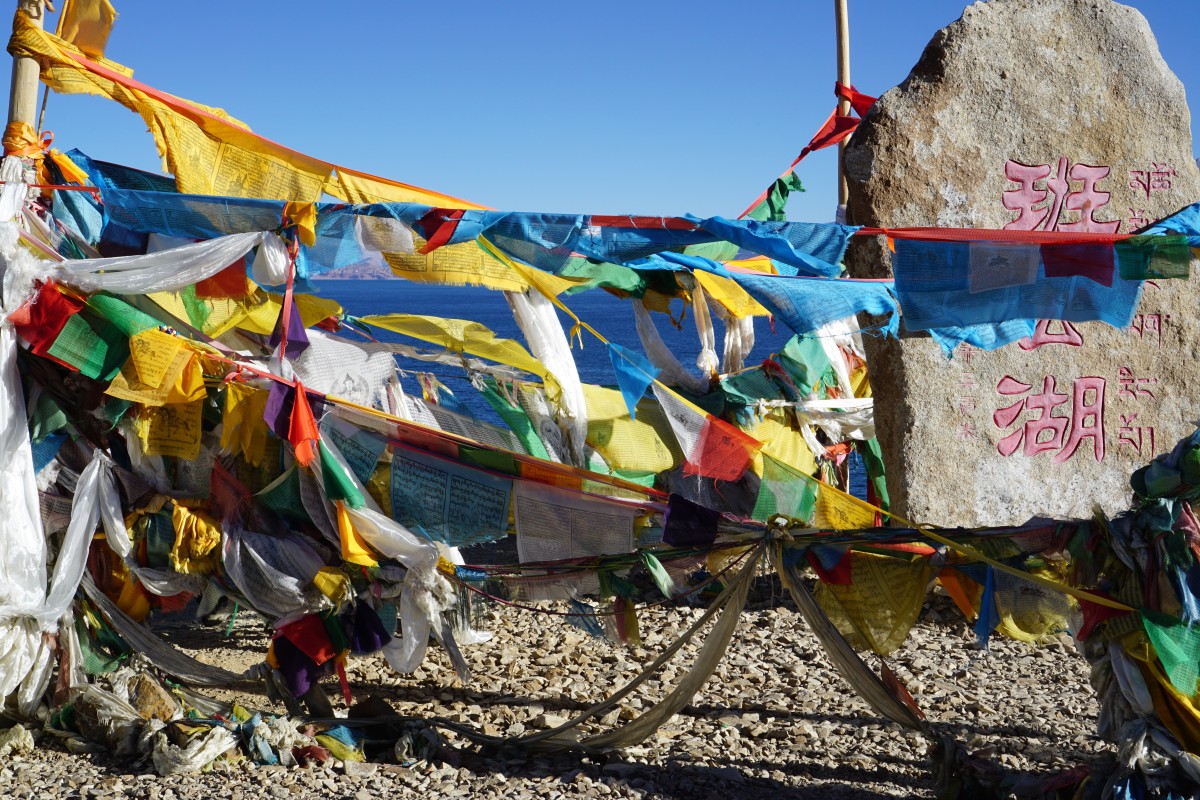
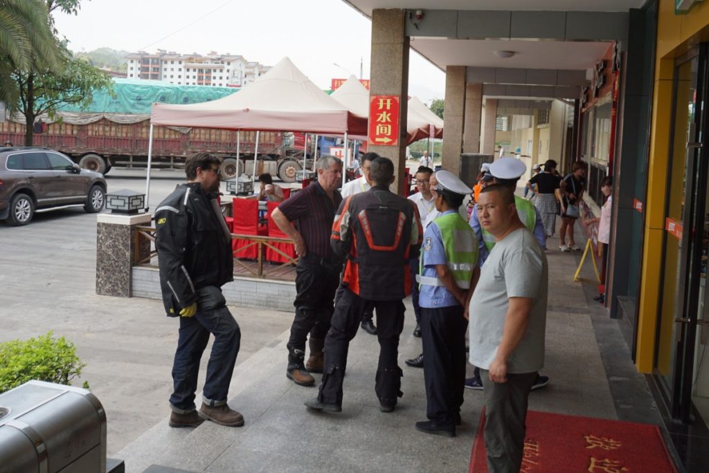
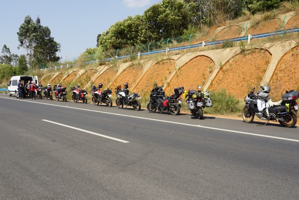
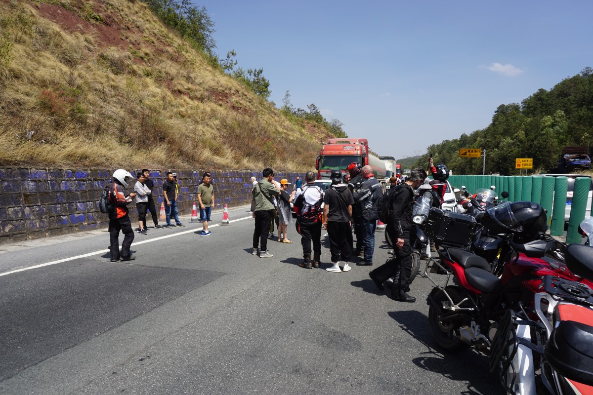
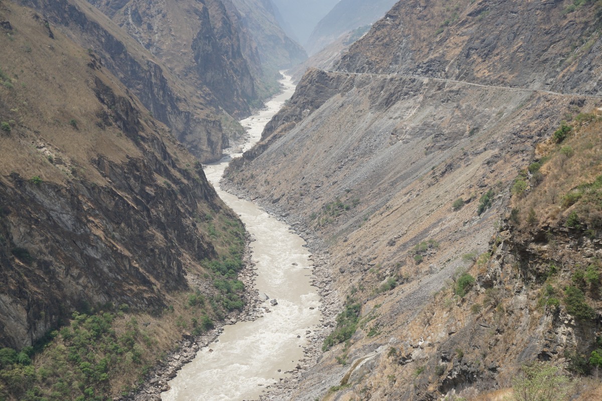
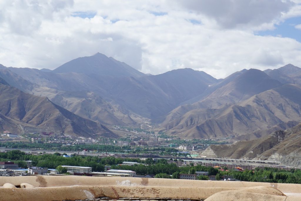
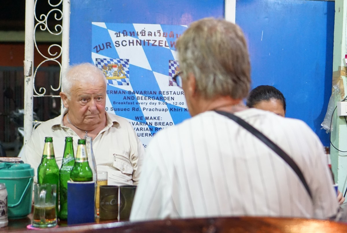
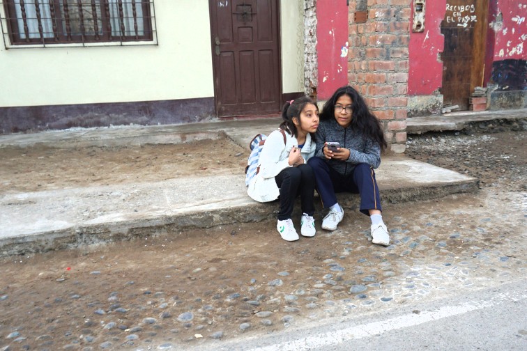
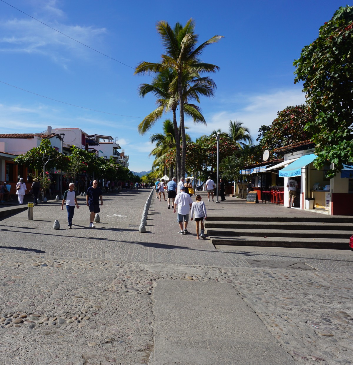
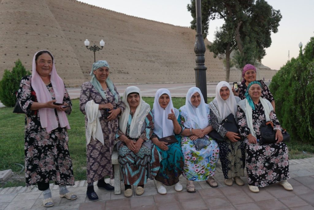
Kashgar to Naryn in Kirghistan (370 km)
This was going to be a short day in my mind — but no! We started around 10 am with a new guide to take us to the Chinese/Kirghistan border. After about 50km we stopped at the first check-point. They checked papers and also wanted to check our cameras to make sure we had not taken pictures of “sensitive” areas”. After some time they got fed up and let us go and after a few kms we came to the immigration and customs control. We got there before noon and were not finished until 5 pm! The bikes were x-rayed (!) – not sure what they were checking for. Cameras were then checked again for illegal pictures and we were stamped out of the country. Then the personnel went for a long lunch and so did we, which was taken in a yurd (big tent) with kebabs, bread and ice-cream – actually very nice.

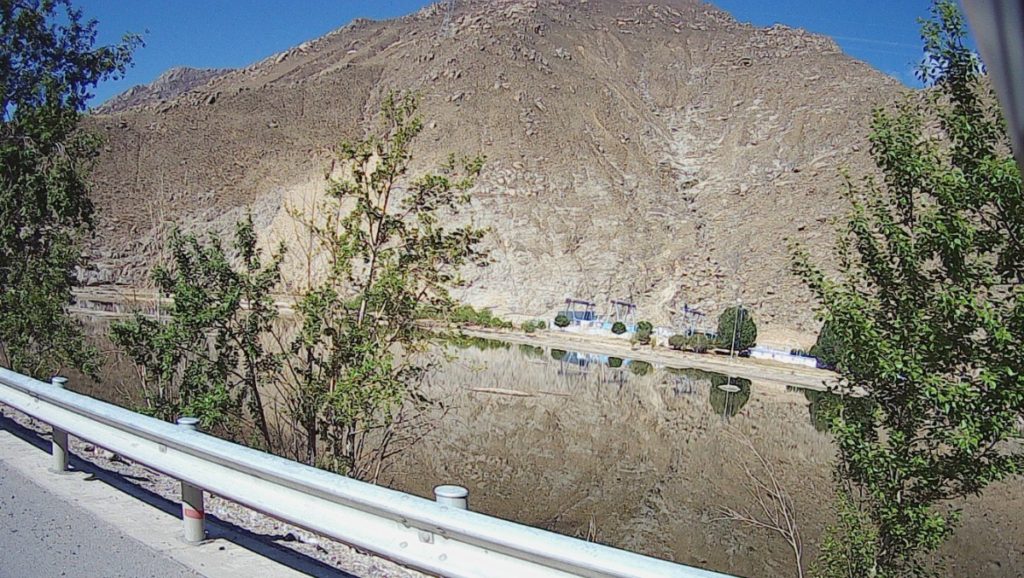
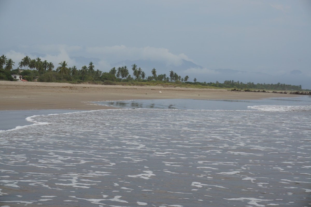
So at 5 pm we were finally cleared and set off for the border which was another 120km away. Getting out of China was fairly straight forward and then into Kirghistan. There was a big gate blocking the entrance but after some time a guard came and opened up. The procedure of immigration and customs was then fairly straight forward taking about one hour. We then set off for Naryn 180 km away. As the sun was setting I had beautiful views of the surrounding mountains and fields, actually, looking very different from the Chinese ones. The mountains had a softer shape and there was a lot more green nature to be seen. The last hour was in the dark, not much fun! Rule number one is to never ride in the dark but sometimes you must make an exception.


Naryn to Kazarman (200 km)
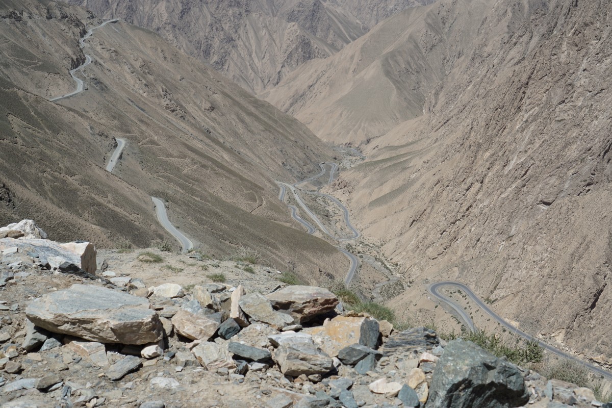
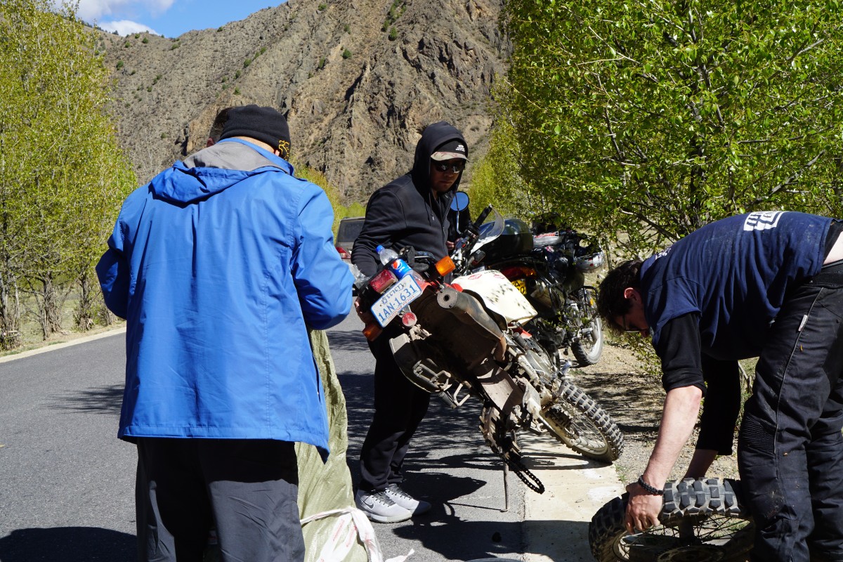
I was in a quandary where to go from Naryn. The first option was to go to Bishkek and then on to Osh on reportedly good roads while the second option was to go direct to Osh on smaller roads that were probably not great. I was persuaded to choose the 2nd option… For the first 100 km, or so, the road was not too bad with very coarse asphalt. Then this turned into coarse gravel and then as the road was ascending to cross a pass it turned into mud… With the tires on by bike this turned out to be troublesome and I was stuck in the mud. Not fun! One of the other guys helped and he got it a bit further up but then it wouldn’t go any further and he thought the clutch was burned… So two of the guys went ahead to the next village to get help and me and Andy were stuck on the mountain. Andy adjusted the clutch and managed to get the bike up the hill – a great achievement! So far I had fallen off the bike 3 times during that day and when we were setting off down the hill Andy fell off as well – even though his tires were much better suited for the conditions.

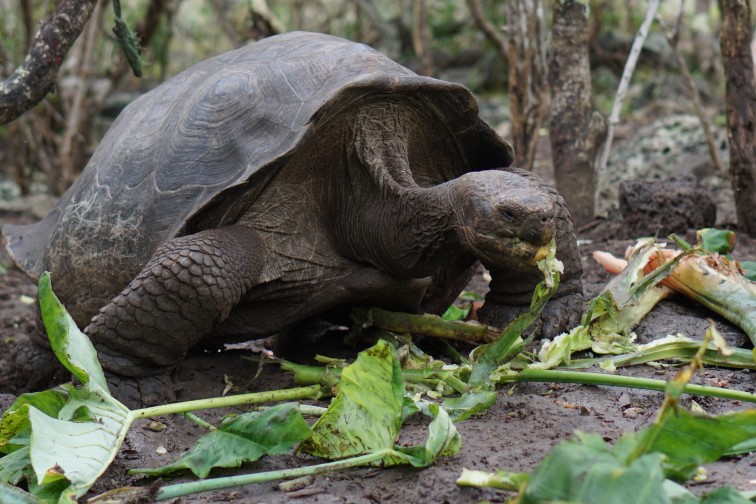
These beasts are heavy to raise!
Anyway, we managed to get down the hill! However, it was getting dark and started to rain so we decided to stop and set up the tent. After some swearing and perseverance we managed to raise the tent in the howling wind – not easy! As we were trying to sleep the rescue vehicle arrived and we were told to rush and get everything in the van. In my mind, the rush was completely unnecessary, and led to my bike was pounded in the van on the horribly poor road. So the result was a broken pannier on the bike and a big mess.
The bed and breakfast accommodation was brilliant when we finally reached at around midnight. We were welcomed with a nice hot dinner before going to bed and not so good sleep. It had been a nightmarish kind of day and it was difficult to drift off to sleep. Maybe, one day I will appreciate the adventures of the day but for now I’d rather not think about it.
Kazarman to Osh (could not make it with my bike)
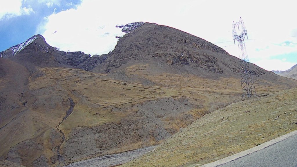
We set off in the rain and it took us some time to find the road to Osh, it seems road signs are not a priority. The road would cross a pass at 3300 m and as i got higher up the mud became worse and it was clear that I could not make it. I decided to turn around and go back to Kazarman where I found a free room at the same b&b. When I arrived 4 motorcyclists from Holland had already arrived and I chatted for some time with them. They had come over the pass but on much more suitable bikes with good off road tires. Later, a party of 3 motorcyclists from New Zealand arrived, they had rented bikes in Bishkek and were doing a circle of the country, mainly off road.
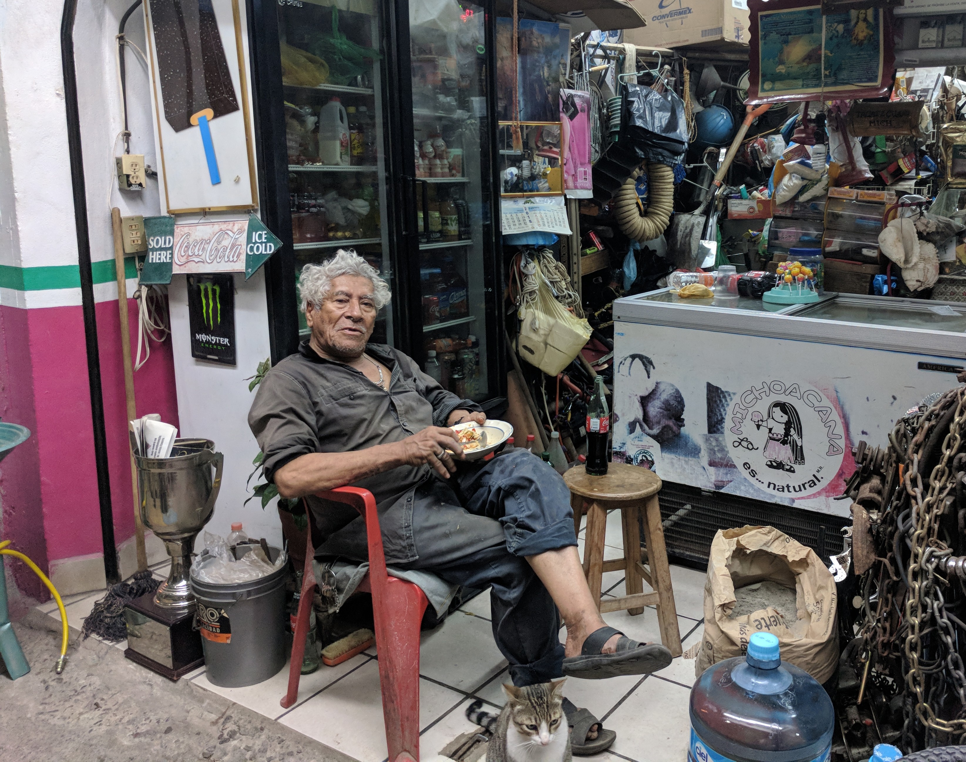
Kazarman – June 7
Spent the day drying stuff that got wet the other night and wander around the village. I also needed to get some cash for the van transport so I went to the bank. It was a small one and it took some time for me to get some cash. There was a guard in military fatigues sitting by a desk supervising proceedings. I wanted to change a fairly small amount but they took their time investigating my passport and finally the cashier said OK. After a few signatures I got my money, quite a procedure!
Many of the buildings are left from the Soviet era and look really drab. However, it was nice to see kids playing outside in the sun shine, similar games as I was doing in Sweden in the 50’s and 60’s… Kids in the western world don’t know what they are missing!.

When traveling on the roads you can’t fail to notice there are a lot of old Audi 100’s around. About 30-35 years old and they’re still going strong! Having had two of these I know they were great cars, but why so many in Kirghistan? I guess they are fairly simple compared to modern cars and easy and cheap to maintain, or? Also note that they have adopted the European sign convention using the same pictograms.
A German guy who I met at the b&b is spending 3 years on a round the world trip on his bicycle and had spent 6 months on the road already. He will get to Singapore later this year so we’ll catch up then.

Remember the 80’s Audi 100? I think they’re all in Kirgistan!
Kazarman to Jalal-Abad – van transport
The lady running the b&b was quite formidable and hard working. She cooked great dinner and breakfast and also organized the transports of my bike. She was very strict not to allow anyone going indoors with the boots on and I was told off several times… The driver of the van to take me and the bike to Jalal-Abad was a friendly chap and organized 2 additional men to get the bike into the van and the loading went well. I brought straps for occasions like this and was able to securely tie the bike down properly. The trip took 5 hours on, sometimes, atrocious roads and we stopped several times to check on the bike straps but everything went without problems and once arrived the driver quickly rounded up another couple of guys to get the bike off the van. The driver’s 12 year old son came along on the trip and he was sick due to the road conditions many times during the trip so we had stop and let him throw up.

Secure tie down of bike in van. It’s the front yellow straps pushing the suspension half way down that kept the bike secure.
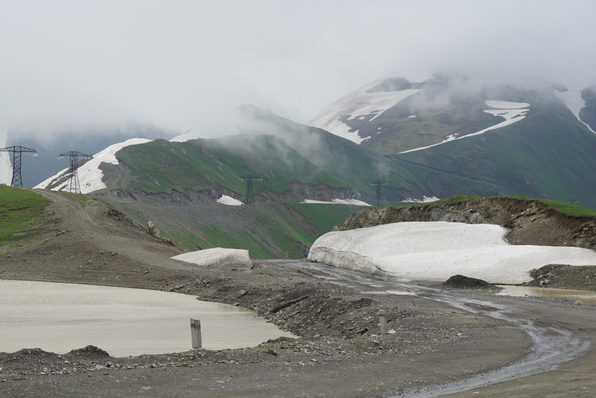
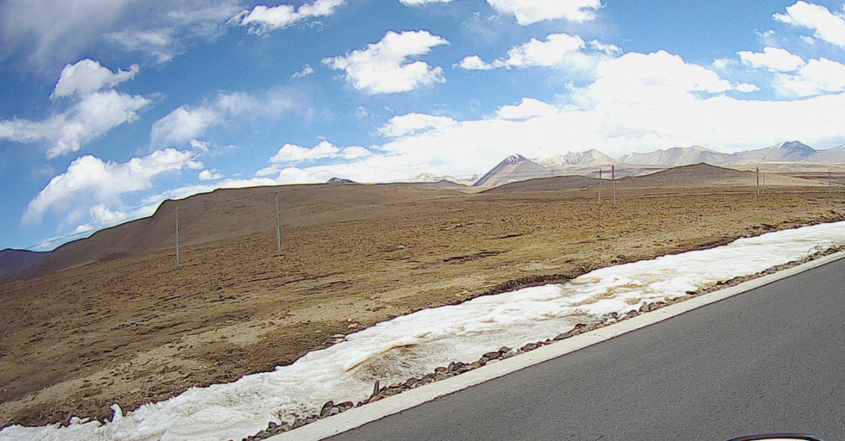
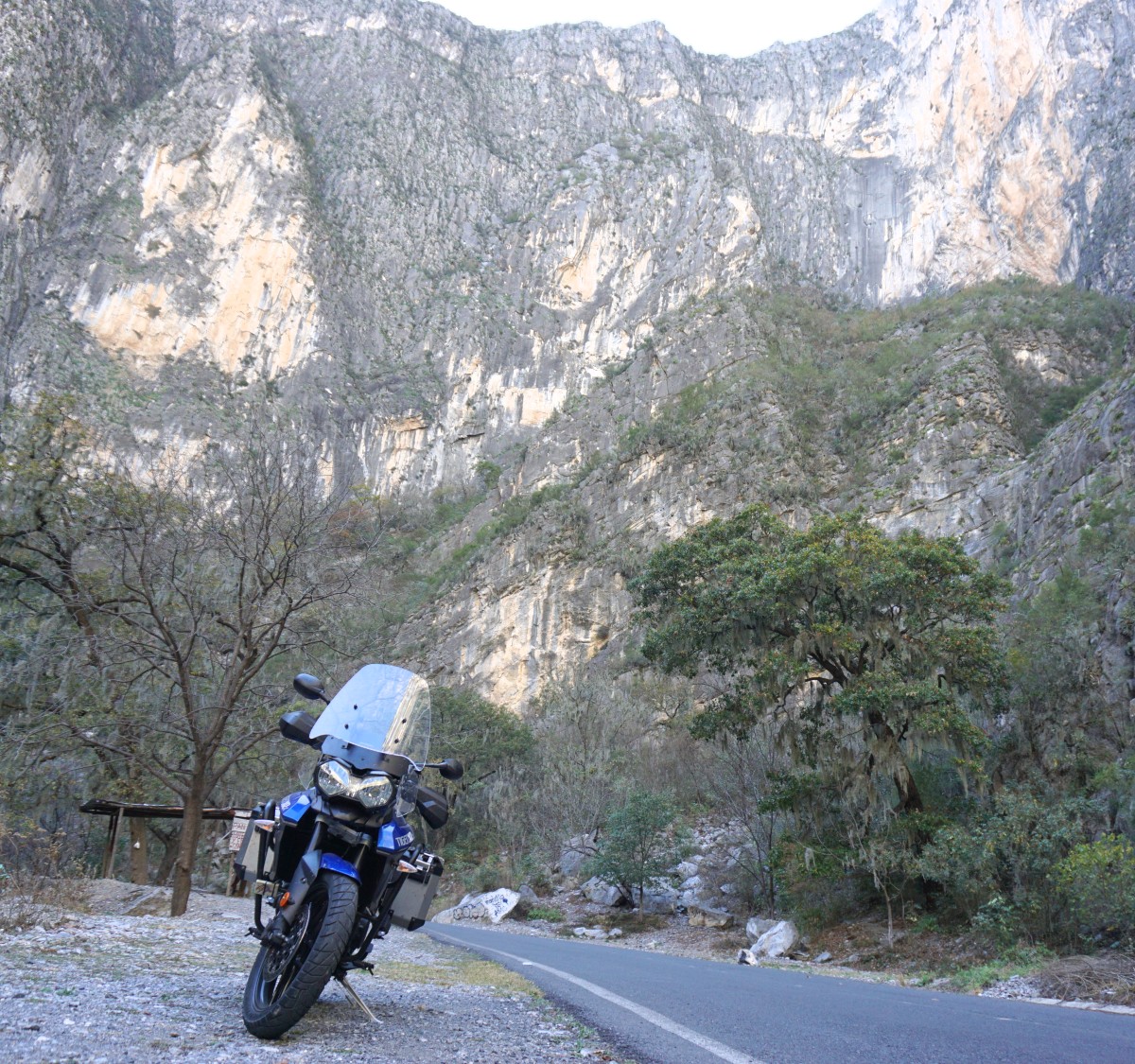
Pretty cold with lots of snow at the top of the pass at 3300m.
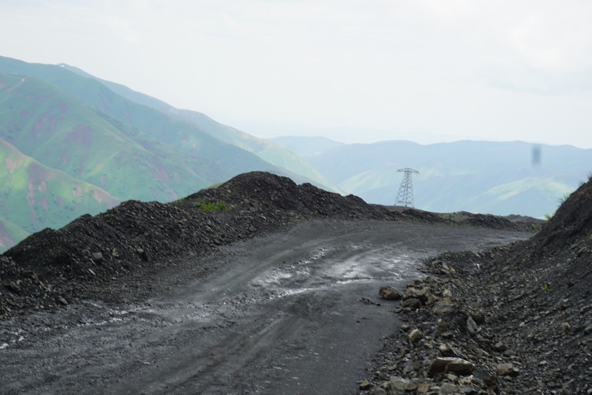
Atrocious road conditions on the mountain.
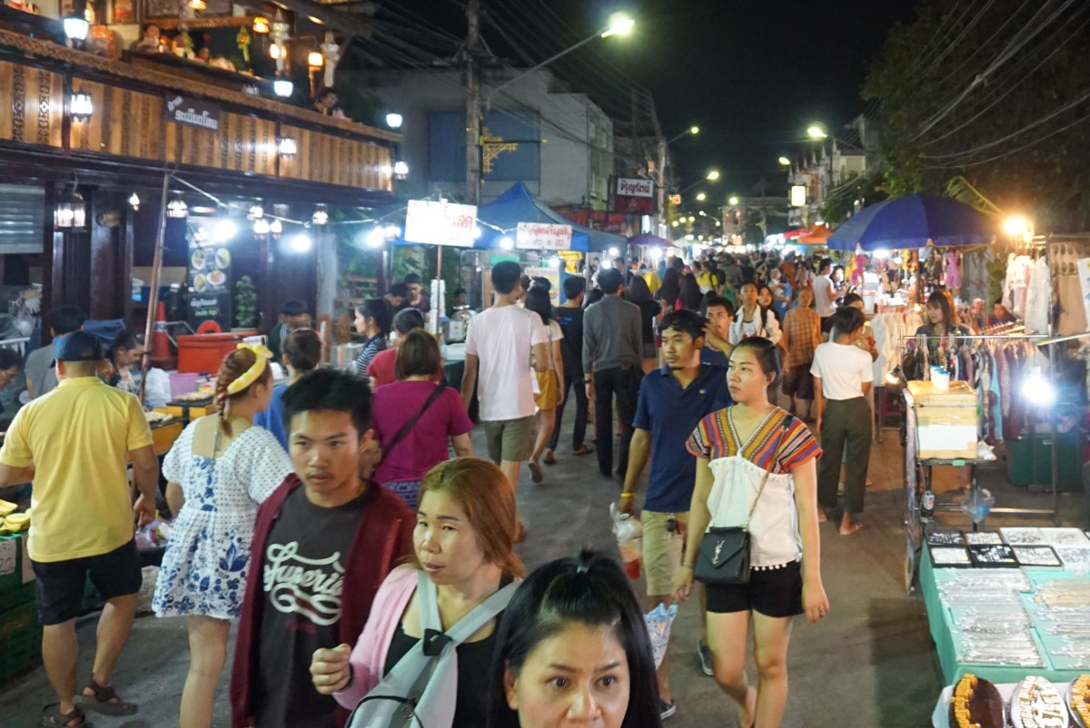
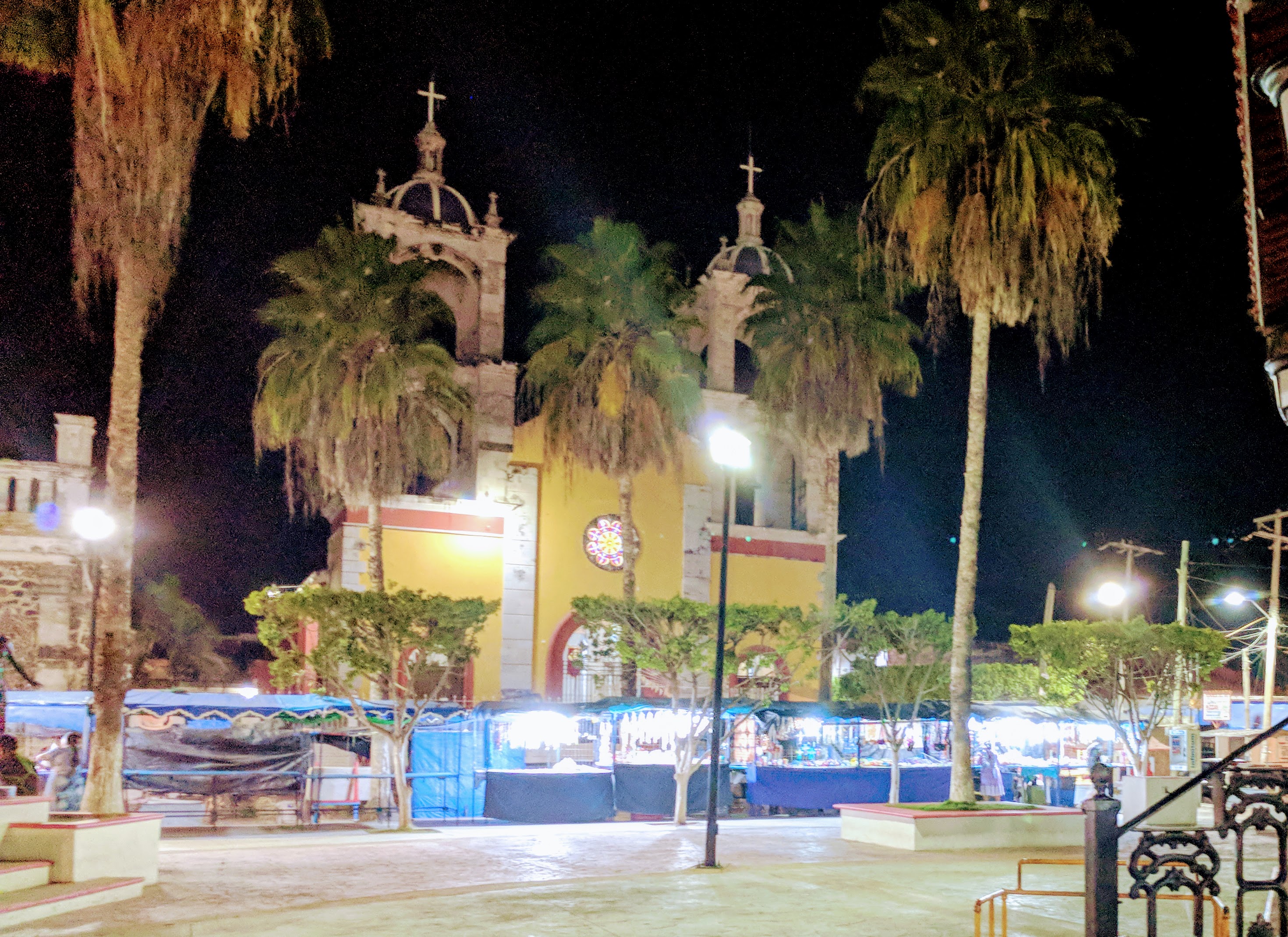
I walked around the town in the afternoon, it was market day and lots of people about. I managed to find a data only sim card and the girls selling it helped me install it in the phone while giggling. They tried to speak some English but showed with a small pinch how little they knew. I replied that my Russian was even worse than their English. The sim card was valid for a week and has unlimited data so should cover me for my time in Kirghistan and cost a paltry 200 Som (about 3 USD).
There was a cafe 20 m from the hotel that served nice food and tea in vast quantities. I had afternoon snack, dinner and breakfast there and the food tasted great!
Jalal-Abad to Osh (100 km)
As I handed the key to my room back and said thank you to the elderly platinum blond hotel lady she did not raise an eye-lid or acknowledge me in any way, and continued smoking her cigarette. However, her colleague rushed to the room to make sure I hadn’t wrecked it or stolen anything, mind you, the thread-bare towels were hardly worth stealing … It was if I had entered a time warp, the hotel block clearly came from the bygone Soviet era and the minuscule room had wall paper that looked like what we used to have in the 50’s.

My steed and Soviet style hotel block.
Well underway the usual road closure happened and the GPS desperately wanted me to turn back to the closed road. I finally stopped and asked for the way to Osh and with those directions the GPS finally gave up insisting I turn back and got on track again. The weather was beautiful and so was the scenery and I was starting to enjoy being on the bike again. I arrived in Osh after a couple of hours and got to the hotel without any further GPS malfunction. As I turned the bike off the bell-boy came out and helped me carry my stuff to the reception, amazing service!
Close to the hotel there was a car wash so I brought the bike there for a thorough cleaning, it was horribly muddy so really needed to get the grime off.

Osh
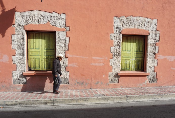
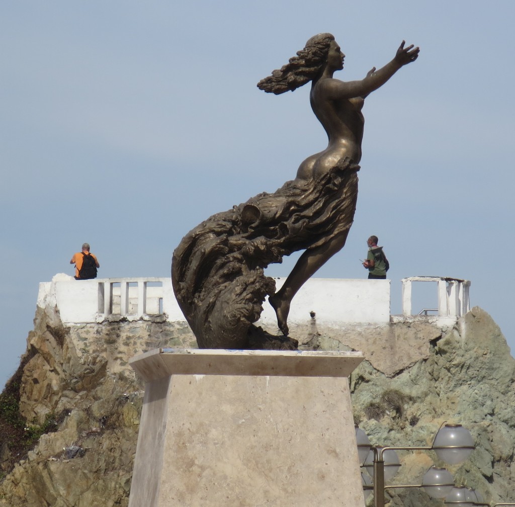
Had new tires mounted on the bike and walked around town, Osh does not have a lot to offer! A big square with a big statue, probably of Lenin. The square has a lot of lanes which perhaps is/was used for military displays on May 1?
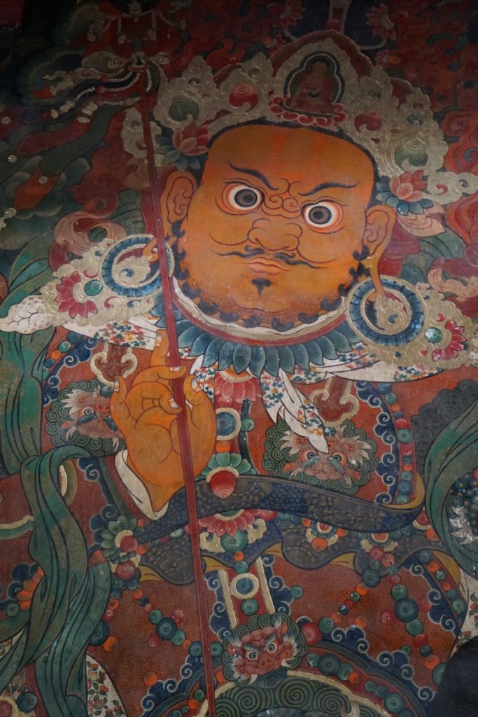
Some of the pictures from my walks around town:
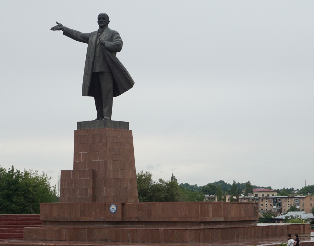
Statue of Lenin (?).
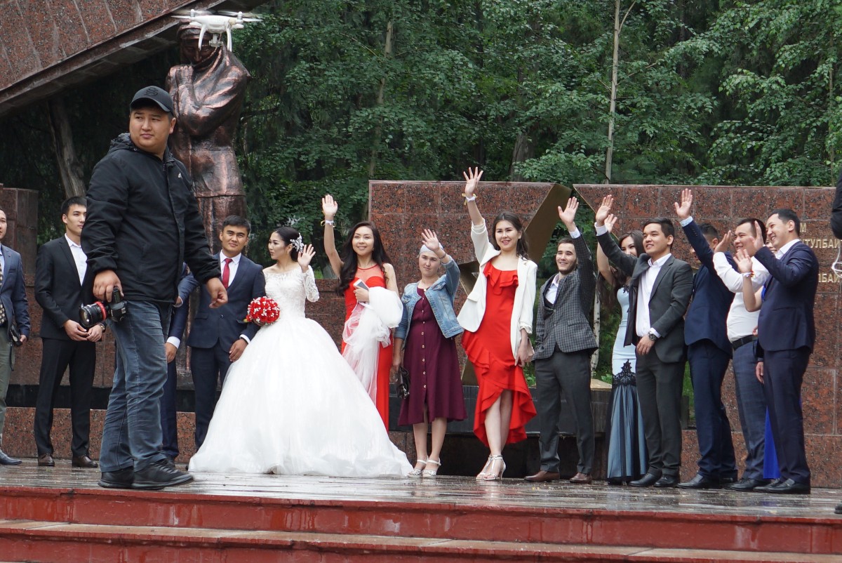
I walked past this wedding. They seemed happy to see me.
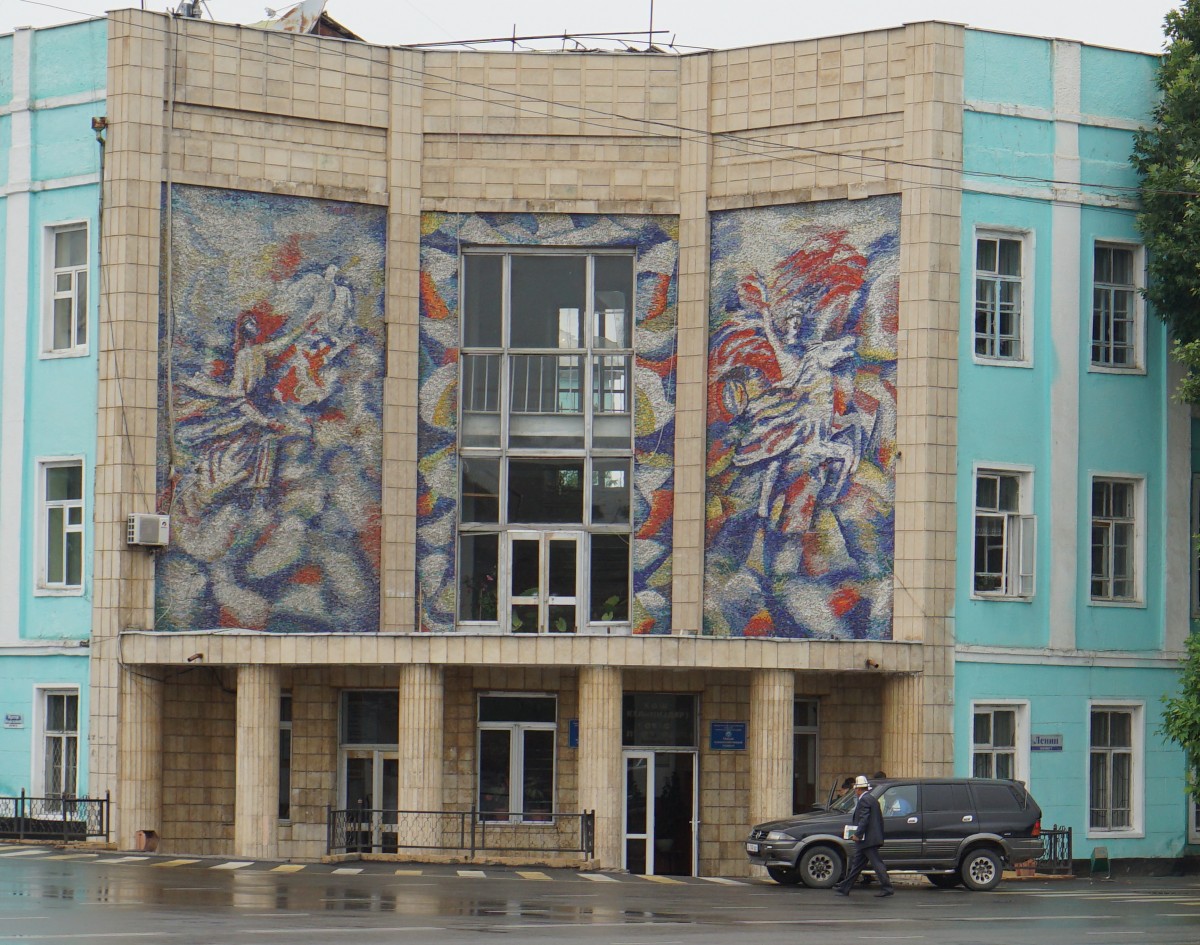
Nice murals.

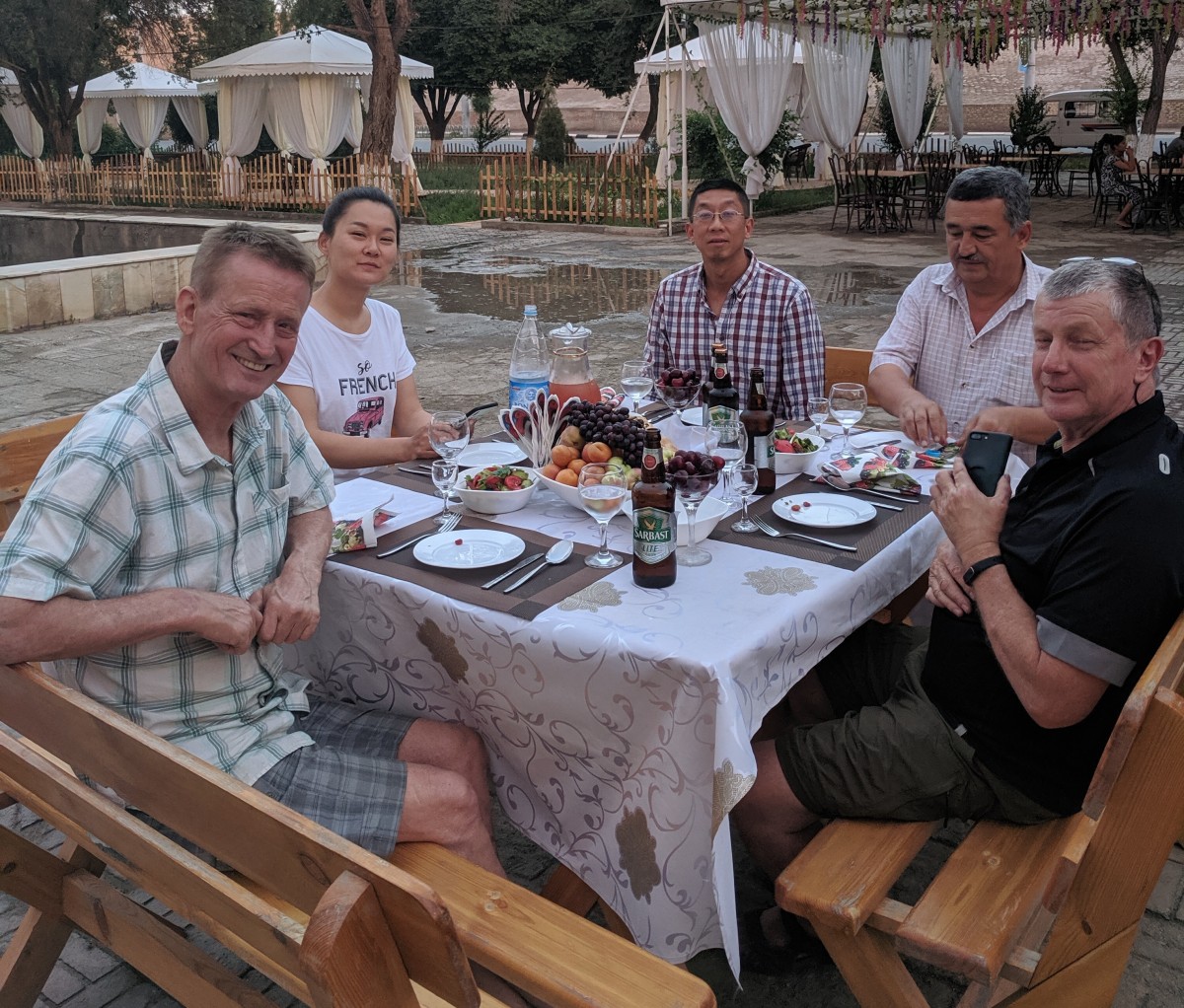
In the evening Jah and missus as well as Mike arrived at the hotel and we went out for a really nice meal of beef Stroganoff and red wine.
Osh to Tashkent in Uzbekistan (390 km)
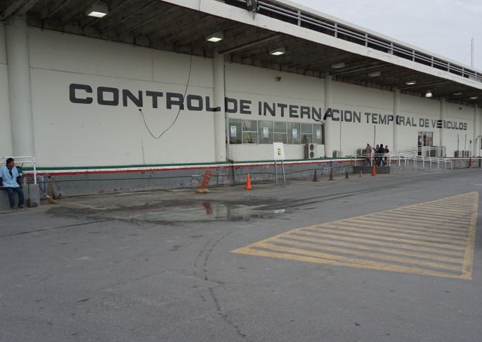
Me and Mike did not get away until 11-ish and were at the border after 15 minutes. Getting out of Kirghistan only took a few minutes while the customs formalities in Uzbekistan took close to an hour. However, the Uzbek guards were very friendly and chatty and wanted to know everything about our trip. We were let go but without a temporary immigration form which as slightly worrying. Hopefully this will not cause a problem when we leave the country.
We stopped at a mobile phone shop to get sim cards but were told we needed to have local id’s. Of course we don’t have such, but a couple of local ladies allowed us to use their id’s! Amazing! So we ended up with 4G SIM cards that will last us for the time in Uzbekistan.
Bookshelf moving.
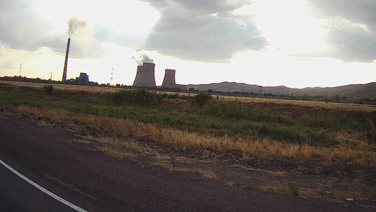
Coal fired power plant.
About halfway through the journey there was a pass with quite high elevation and a new and beautifully constructed highway led across it. The temperature sank by 10-15 degrees so the pass might have been 2000m high. However, there was some wet patches and with the new unfamiliar tires I rode very carefully… We found a hotel close to the city and made our way there without problems. Drivers in Uzbekistan seem to have a death wish going at high speed and worryingly for motorcyclists they give us very little space as the fly past.
Tashkent to Samarkand (320 km)
We rode through the city before turning south west towards Samarkand. Tashkent is a modern city with lots of new buildings, and wide tree lined avenues. However, there are no “famous” historic buildings in the city. Someone said it was the 2nd or third biggest city in the former Soviet union.


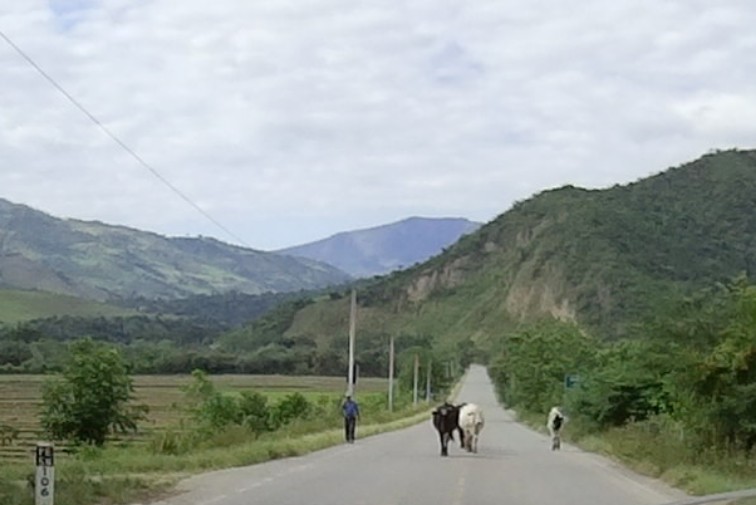
Grazing cattle.
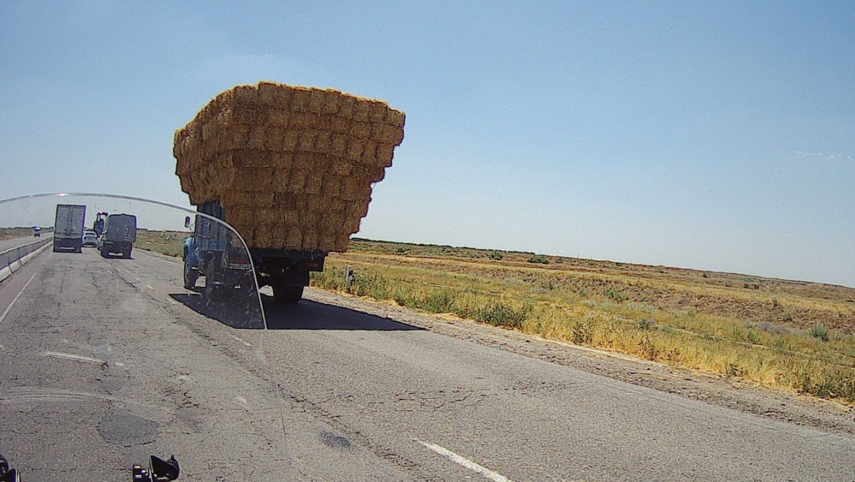
Hay transport. Nice stacking of the hay bales.
The road was good most of the way and we arrived mid afternoon to Samarkand. The temperature is getting higher – around 31C during the day-time. At night the temperature was a very pleasant 22C.
It’s not easy to get cash in this country, we have not found an ATM that will give us the local currency and credit cards are not accepted in many places. The only way to get local currency is to exchange pristine US $ bills, a slight crease in the bill will make it non-acceptable! It’s a real pain!
Samarkand – June 13
Walked around beautiful Samarkand, beautiful mosques and people.


Very old Lada. Lots of old cars on the road.

Ladies in beautiful dresses relaxing before a wedding reception at the Registan.

First night in Samarkand hotel. Very nice but no room available for the 2nd night.

Mosque close to the 2nd hotel.


Mosque at the Registan.

Registan is a big area with various mosques and buildings. The buildings are clad in beautiful tiles – very colourful.
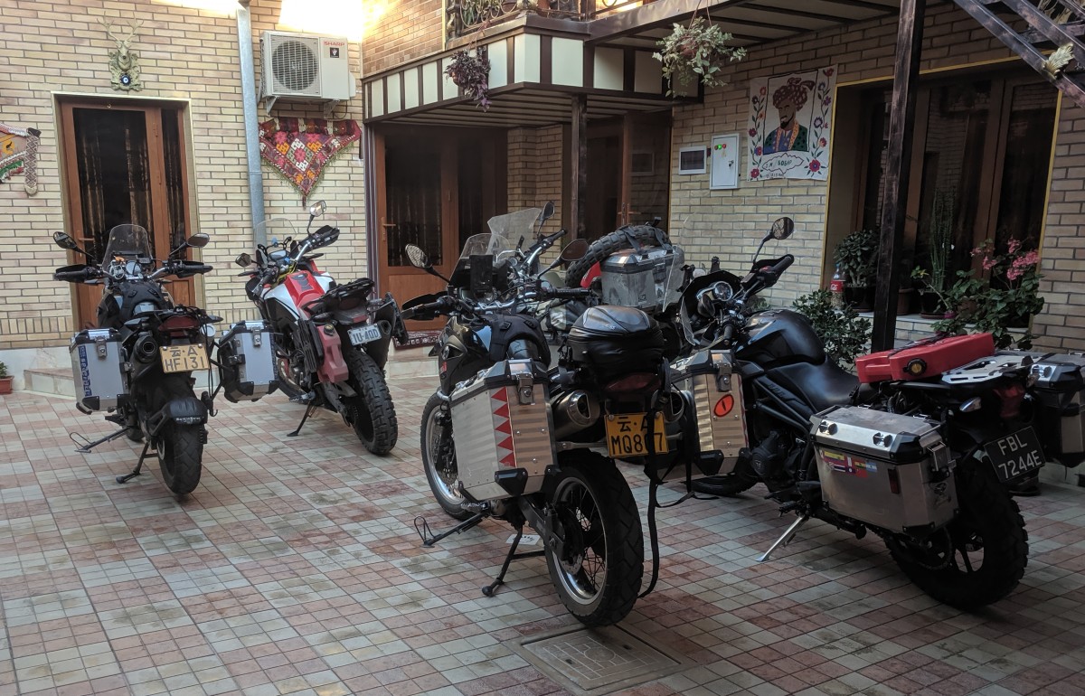
Biker hotel.
When we got back from the Registan, Jah and his missus had arrived in our hotel. We spent a lovely evening in a restaurant driven there by our resident taxi driver.
Samarkand to Bukhara (280 km)

Before we left we said bye to Anton who I’d met a year ago in Bogota. I wonder where we’ll meet next?
Pretty boring but, oh so hot, ride from Samarkand to Bukhara. The temperature was getting close to 40C with very low humidity and I was pretty exhausted by the time I arrived at the “Old house hotel” which was located in a small street, only accessible by motorcycle, and which took some time for me to find. It’s newly refurbished and the beds are not concrete hard – hurray! Mike arrived a bit later than me and we went for a walk in the town. It’s much more touristy than Samarkand but very nicely done.
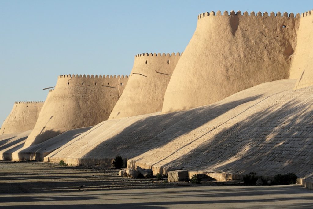
We found the “Ark” the most famous structure in the town and an exert from Wikipedia states:
“The Ark is a large earthen fortification located in the northwestern part of contemporary Bukhara. In layout it resembles a modified rectangle, a little elongated from the west to the east. The perimeter of the external walls is 789.6 metres (2,591 ft), the area enclosed being 3.96 hectares (9.8 acres). The height of the walls varies from 16 to 20 metres (52 to 66 ft).”

Entrance to the Ark!
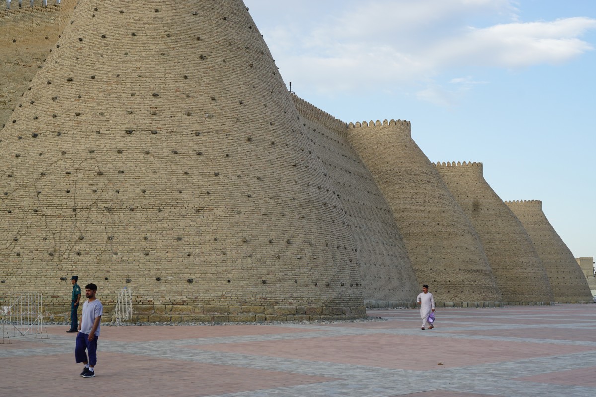
Wall of the Ark in Bukhara.
It’s a huge and very impressive structure!


We found a nice place for dinner with some entertainment to go along.

My progress the last few weeks:

Rest day in Bukhara
We decided to stay a day in Bukhara before going on to Khiva.
Bukhara ladies just happened to be lining up for a photo.

Sunset in Bukhara.


Bukhara to Khiva (470 km)
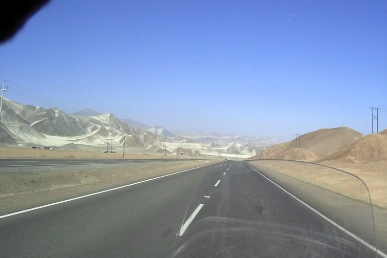
We started early at 7 to avoid the heat. The first 100 km was pretty badly rutted asphalt and then there was an amazingly good 4 lane highway for 270 km so the day was a lot easier than we thought it would be. The landscape along the highway was very boring, almost desert like.
New highway in the desert landscape.
It’s low season in Khiva so no problem to find a hotel and we’re the only ones at this one. I walked around in the beautiful historic area in the evening. Amazing minarets and mosques.
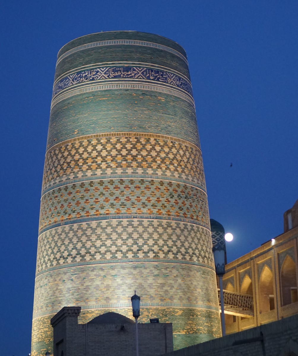
Colourful minaret in Khiva
Protective wall surrounding the Khiva historical area.

Full moon shining on Khiva.

There were a couple of camels inside the Khiva historical area. A bit scraggly?
I’m sure all “adventure travelers” have doubts from time to time about what’s the point of the trip. You get to a new destination and wonder “what am I doing here?” and then stay a day or two and go to the next town. I’ve been traveling for 7 weeks and am starting to wonder “maybe I should cut the trip short”? When I get into Kazakhstan I can choose to go northwest towards Latvia and take a ferry across to Stockholm and finish the trip in a couple of weeks, or I can go south towards Georgia, Turkey and come up through Europe and spend, at least, another month. I do get tired of sitting on a motorcycle day in and out and I’m having some aches and pains and wondering if I’m still enjoying the adventure… I’ll have to make up my mind in the next week or so…
Khiva – June 17 – 19
Mike’s front tyre is shot! He talked to the hotel manager who found a tire in Tashkent so now we’re waiting for it to arrive in Khiva. People here are very friendly and helpful and will go out of their way to help, like the hotel manager did. I told him I was suffering from some hip pain and he quickly found a nurse to come to the hotel and give me a massage and some pain relieving pills. The nurse gave me a nice massage but I’m not sure that it will help with my hip ache…
We found a salon to cut our hair and the person doing the cutting was a boy of 17! He had his 12 year old twin brothers in the shop while we were getting the hair cut and they were very boisterous and curious about us. The 17 year old had a diploma and did a nice job!

Later in the afternoon Jah and missus arrived and stayed at the same hotel. Dinner was taken at a rooftop restaurant inside the historical area and was very nice. The full moon was amazingly yellow and together with the lit minarets produced a stunning display. Unfortunately I only had the phone camera so the image is not so good.

Khiva minaret along full moon.
It looks like we’ll be staying another day or two since Mike’s tire will not arrive until tomorrow the 19th…
The road from here to Kazakhstan is not so good in places and there is also a 300 km stretch with no petrol stations and in combination with the available fuel being only 80 octane we need to bring some extra fuel to make sure we’re not stranded in the middle of nowhere. I asked the hotel manager and he got us two 10 liter water containers we can use for fuel and this should be enough to get us safely to Kazakhstan.
I walked around the non historic part of town and got some pictures.

The hotel manager said this was a famous author from Khiva.

Couples getting married would walk around this statue for good luck…
_
On the last day in Khiva the hotel owner gave us a farewell dinner. We had a very nice 4 course meal with beer, red wine and vodka. We felt very full and slightly worried we wouldn’t be in good shape to get up early the next day.
Khiva farewell dinner
Khiva to Kungirot (300 km)
An early start at 7.30 meant it was pretty cool and we made good speed both on the rough potholed road and some newly built stretches so we arrived noon time. Kungirot town does not have a lot to show for itself, it’s dusty and with terrible roads.
As the day wore on first a German couple arrived on Husqvarna bikes having come from Kazakstan and later in the evening a group of more Germans arrived also from Kazakhstan. We chatted and they told us about the bad road close to the border of Uzbekistan. It was nice to meet other bikers.
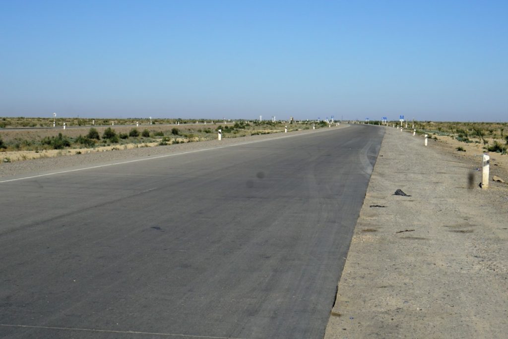
Kungirot to Beyneu in Kazakhstan (430 km)
We started at 6 in the morning and made good speed the first 150 km on fairly good sealed roads. We were thinking this is not so bad but then the road got worse and worse with huge pot holes. I hit a big one and I knew straight away that something was wrong, the steering did not feel right… I stopped and confirmed a front wheel puncture and saw immediately that the rim was badly bent. I tried pumping up the wheel and kept going at 40 kph but it was no good, the air gradually went out. So I stopped and wondered what to do, there was no phone connection and I really was in the middle of nowhere with the temperature climbing into the mid thirties. Some people stopped to help but there was not much that could be done. So I waited for Mike who was way ahead of me and he appeared after some time. He immediately suggested we had to put a tube in the tire and luckily he had one. So we managed to get the wheel off, break the bead and get one side of the tire off. We put the tube in and managed to get the tire back on and pumped it up and put the wheel back on. Sounds simple but is not easy and in the blazing midday sun with temperatures reaching 40C it was a heroic effort!

Badly bent front rim. Can this be safely fixed?

Mike packing away the tools after fitting the tube on my front-wheel.
With this I could get going again and managed to ride to the border with Kazakhstan going over, possibly, the worst road on the planet…
After two hours at the border the road to Beyneu was fantastic for 60 km and then turned into a road of hell, first terrible dirt road and the last 5 km made up of sand as fine as flour. It was very difficult to ride in this but we eventually found the hotel after a 12 hour long day. I was completely exhausted but managed to go out to get some food and drink.
Beyneu to Atirau (420 km)
I was so tired I doubted I could make the trip to Atirau but somehow I managed to get going. Temperatures of 40C made the going tough and we had to stop to drink a lot. On top of that the front wheel is no longer round so the front of the bike vibrates a lot at slower speeds while at around 100 kph it was bearable.
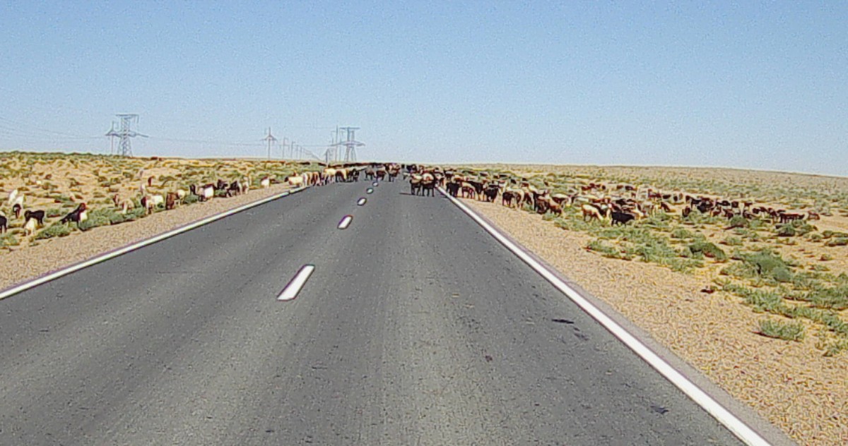
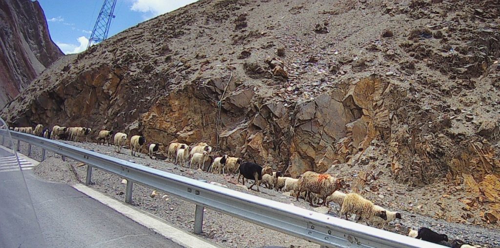
A flock of sheep crossing the road.
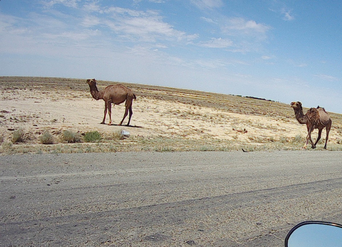
A lot of camels along the road. They look incredibly docile and stoic and not one got onto the road.
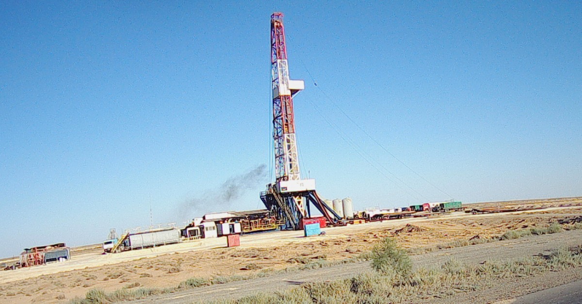
I saw several O&G rigs.
This is what Wikipedia say about Kazakhstan Kashagan oil field:
“With 9 – 11 billion barrels, Kashagan is the largest oil field outside of the Middle East. It is estimated to come on stream in 2016 and reach production of 1.5 million barrels per day at its peak. Kazakhstan is a major oil producer with an estimated total production of 1.64 million barrels per day in 2013.”
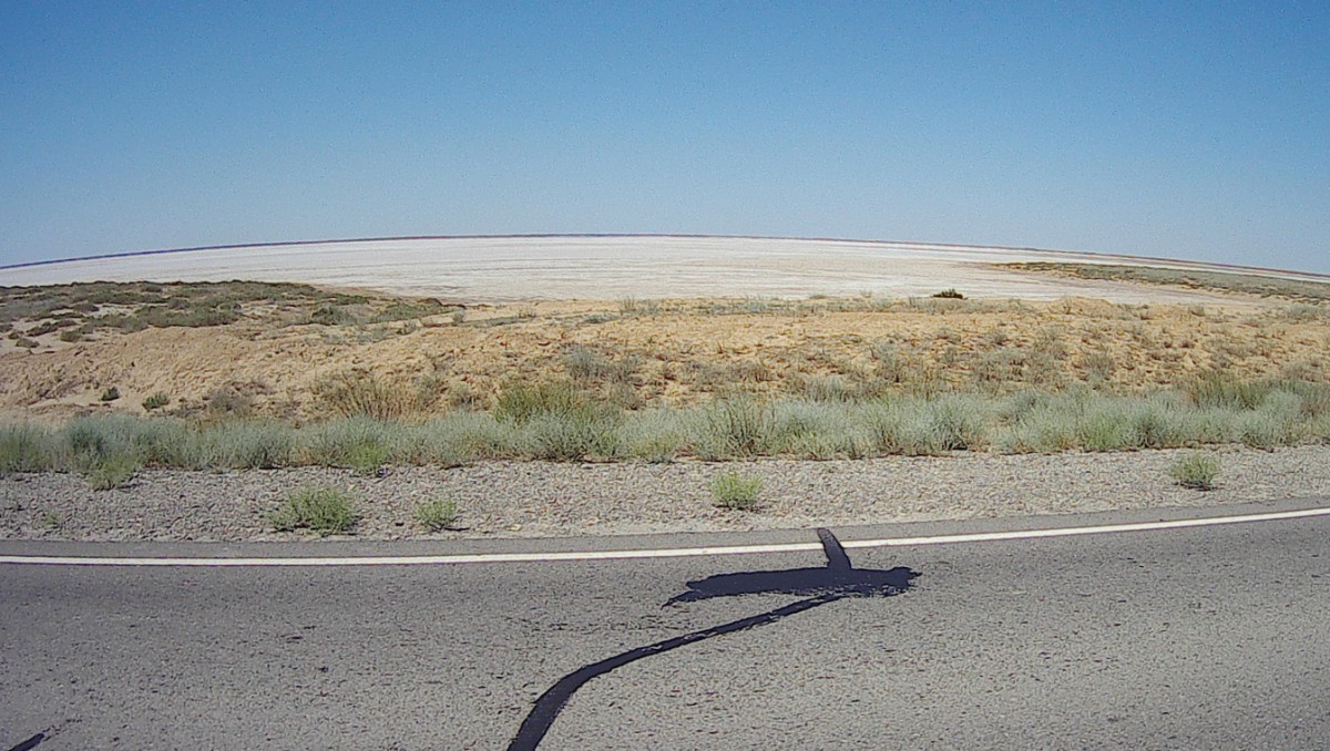
Areas beside the road looked like it was covered by snow… It’s dried lakes covered in salt.
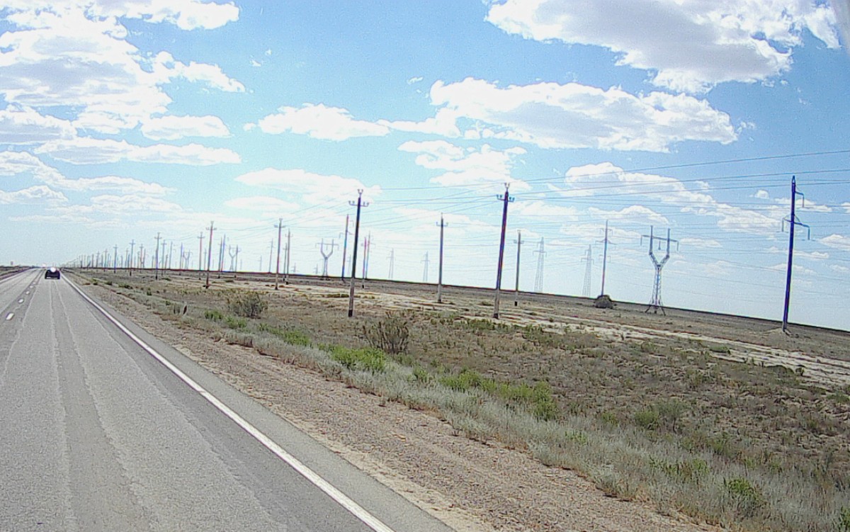
Lots of poles!
Atirau Jun 23, 2019
It is Sunday and I’m worried there will be no garages or workshops to straighten my rim. With the help of the iOverlander app I was able to find the area of some workshops and set off to find the place around 10. It was straight forward and we soon found the workshop that had previously helped to fix a bent rim. It took some time for the guy to get going and with the help of heat and a hammer he was able to straighten out the rim. Mike found a 19 inch inner tube and after a few hours I was on the road and the rim was now much better – mission accomplished!
I had thoughts about going due north towards Moscow to avoid the terrible road to Astrakhan but in the end we decided to go towards Astrakhan tomorrow. I’m worried that if I bend the rim again it might not be safe to fix it so I will need to take it very gingerly.

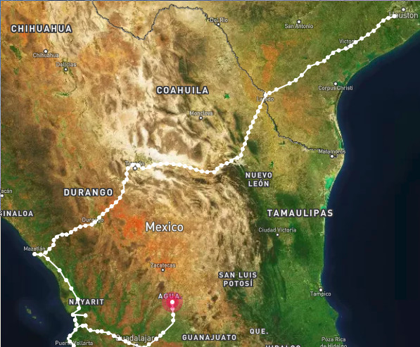
Route after China from Naryn, Kirghistan to Astrakhan, Russia.